
GUWAHATI — In a significant move to address the growing crisis of waterlogging in Guwahati, the governments of Assam and Meghalaya have announced a joint initiative to conduct satellite mapping of the inter-state border region.
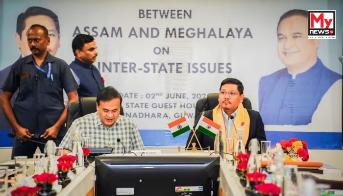
The decision, taken after a high-level meeting between Chief Ministers Himanta Biswa Sarma and Conrad K. Sangma, marks a rare collaborative step to resolve the long-standing issue that has often strained ties between the neighbouring states.
The mapping exercise will be undertaken by the North Eastern Space Applications Centre (NESAC) and will cover areas around Guwahati, including forest cover, water flow dynamics, and zones prone to waterlogging. The data, expected to be delivered within three months, will be sent to IIT-Roorkee for expert analysis and recommendations on long-term flood mitigation strategies that account for the interests of both states.
Addressing the media, Assam CM Sarma reiterated that large volumes of floodwater flowing into Guwahati originate from Meghalaya’s Ri-Bhoi district, particularly around the Khanapara region. He said a detailed presentation was made to the Meghalaya delegation to illustrate the extent of water inflow and its correlation with recurring urban floods.
Meghalaya CM Sangma acknowledged the urgency of the issue, noting that increasing rainfall due to climate change has compounded the situation. He stressed that the effort will be a balanced one — focused on preventing flood damage in Guwahati while ensuring that the livelihoods and economic activities of people in Meghalaya are not disrupted.
The joint project comes against the backdrop of accusations from the Assam side that illegal hill-cutting activities in Meghalaya, including those linked to private institutions like the University of Science and Technology, Meghalaya (USTM), are exacerbating the flooding in Guwahati. Sarma had previously alleged that unchecked development on hills adjoining the Assam capital has led to what he controversially termed as a “flood jihad” against the city.
Sarma also confirmed that the matter has been brought to the attention of a Supreme Court committee and that notices have already been issued to both states regarding the hill-cutting issue.
Despite the tensions, the joint announcement signals a willingness to shift from blame to cooperation, using technology and inter-state coordination to find sustainable solutions. As monsoon intensifies in the region, the outcome of this joint initiative could become a blueprint for climate resilience in other flood-prone urban zones of the Northeast.