
Guwahati, August 17, 2024 — In a bid to address the persistent issue of landslides, the Assam State Disaster Management Authority (ASDMA) has partnered with the Geological Survey of India (GSI) to implement a regional Landslide Early Warning System (LEWS). The Memorandum of Understanding (MoU) for this initiative was signed on Friday by ASDMA CEO Gyanendra Dev Tripathi and GSI’s Deputy Director General for Assam, Siladitya Sengupta.
The new LEWS will initially focus on Dima Hasao and Cachar districts, with plans for broader implementation across Assam. The system aims to improve landslide prediction and response by combining static landslide susceptibility and hazard maps with dynamic rainfall forecasts.
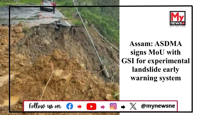
Landslides have long been a major concern in Assam’s hilly areas, including Dima Hasao, Karbi Anglong, and Cachar, leading to loss of life and damage to infrastructure. The LEWS seeks to address these challenges by providing more accurate warnings and enhancing disaster management capabilities.
The GSI has also introduced the ‘Bhooskhalan’ app for real-time landslide reporting and the ‘Bhusanket’ portal for comprehensive updates on landslide occurrences across India.
Read More: Nationwide Strike by Indian Medical Association Over Kolkata Doctor’s Murder